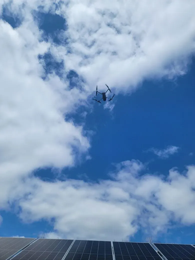
Precision Drone Services Serving Maine & New England
Harnessing advanced drone technology, we provide expert Thermal Imaging & PV System Analysis for Utility-Scale Solar Projects in ME, MA, NH, VT, CT & RI.
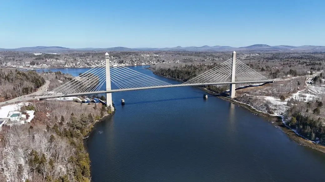
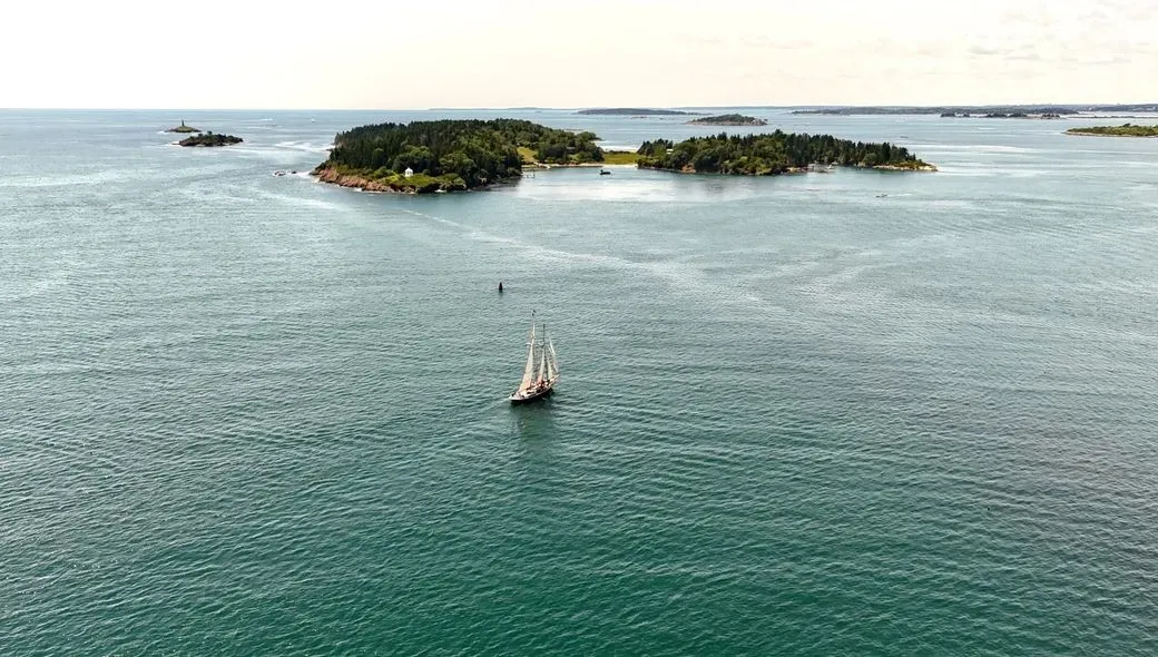
We also provide stunning construction progression visuals, and dynamic real estate and social media content. Licensed and experienced, we deliver detailed aerial insights tailored to your project needs.
Elevate your perspective with My Maine Drone.
Our Drone Services
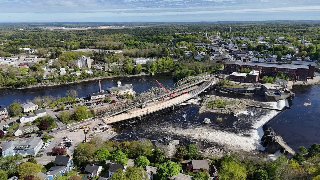
Construction Progress Photography
Capture high-resolution aerial photos and videos to document the progress of your construction projects with detailed precision.
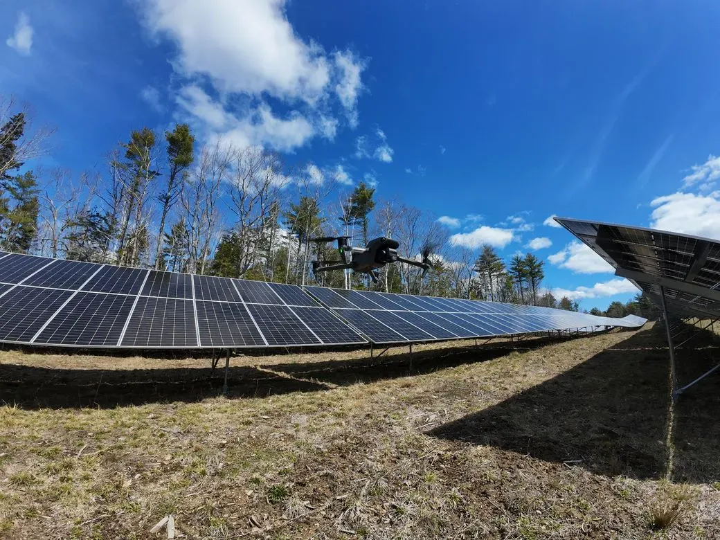
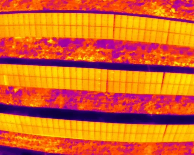
Solar Thermal Inspections, Data Collection & Reporting
Utilize advanced thermal imaging to monitor and analyze utility scale solar farms for optimal performance and maintenance.
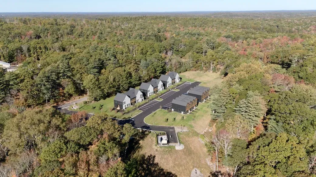
Real Estate Aerial Photography
Showcase properties with stunning aerial views that highlight the location, layout, and surroundings to attract potential buyers.
Gallery
Elevate your Vision with Precision Reporting
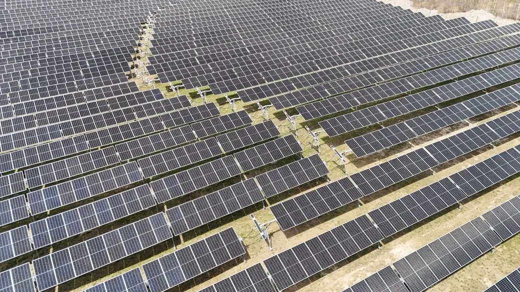
Save Thousands on O&M Costs, Downtime and Inefficiencies
Even on relatively small sites, thermal inspections can identify issues
in a fraction of the time required by a full team of electricians.
Frequently Asked Questions
How do you ensure privacy and safety during drone flights?
As an FAA Part 107 licensed drone pilot, I strictly adhere to FAA regulations, respect privacy laws, and ensure all flights are conducted safely and responsibly, with all necessary permissions obtained.
What areas do you serve?
My Maine Drone primarily serves clients throughout Maine, but we are open to discussing projects in nearby regions depending on the scope and requirements.